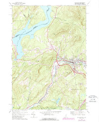
1971 Map of Littleton
USGS Topo · Published 1988About this map
The Ammonoosuc River carves a path through this New Hampshire and Vermont borderlands region, serving as a focal point for the development of Littleton. The map documents a period of modern infrastructure expansion, notably the construction of Interchange 42 and Interchange 41, which redirected the flow of travel through Grafton County. To the northwest, the Connecticut River widens into the Moore Reservoir, creating a stark water boundary between states.
Find a feature on this map
67 named features on this map. Tap any name to fly to it.
Don’t see what you’re looking for? This feature index may not catch every label — zoom into the map to look around manually.
Map Details
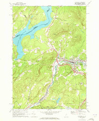
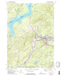
Editions of this 1971 Littleton Map
3 editions found
Other maps of this area

1900 · Whitefield
USGS Topo · 1:62,500

1929 · Moosilauke
USGS Topo · 1:62,500

1929 · Franconia
USGS Topo · 1:62,500

1931 · Littleton
USGS Topo · 1:62,500

1932 · Franconia
USGS Topo · 1:62,500

1932 · Littleton
USGS Topo · 1:48,000

1932 · Moosilauke
USGS Topo · 1:62,500

1935 · Littleton
USGS Topo · 1:62,500

1935 · Whitefield
USGS Topo · 1:48,000

1938 · Whitefield
USGS Topo · 1:62,500