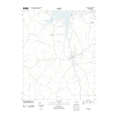
2010 Map of Littleton
USGS Topo · Published 2010About this map
The town of Littleton sits as the central hub of this 2010 survey, where local geography is defined by a series of branching waterways including Butterwood Creek and Bens Creek. The landscape exhibits a transition from established residential blocks in town to more dispersed rural settlements like Enterprise and Cooleys Crossroads. In the north, the terrain is deeply carved by the inlets of Big Stone House Creek and Little Stone House Creek, which create a complex network of peninsulas and coves near Camp Willow Run.
Find a feature on this map
51 named features on this map. Tap any name to fly to it.
Don’t see what you’re looking for? This feature index may not catch every label — zoom into the map to look around manually.
Map Details
Editions of this 2010 Littleton Map
This is the sole edition of this map. No revisions or reprints were ever made.
Other maps of this area

1919 · White Plains
USGS Topo · 1:48,000

1920 · White Plains
USGS Topo · 1:62,500

1953 · Norfolk
USGS Topo · 1:250,000

1953 · Greensboro
USGS Topo · 1:250,000

1954 · Greensboro
USGS Topo · 1:250,000

1962 · Greensboro
USGS Topo · 1:250,000

1963 · Gasburg
USGS Topo · 1:24,000

1963 · Valentines
USGS Topo · 1:24,000

1966 · Greensboro
USGS Topo · 1:250,000

1968 · South Hill SE
USGS Topo · 1:24,000