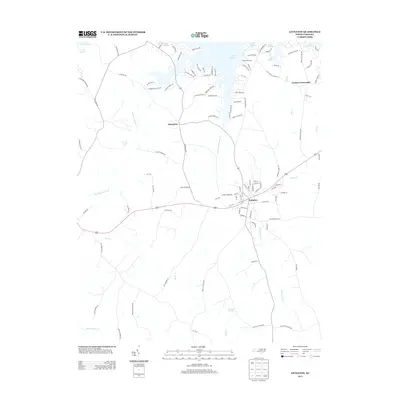
2013 Map of Littleton
USGS Topo · Published 2013About this map
Littleton serves as the central hub of this northern North Carolina landscape, where modern residential development meets a deeply established rural network. To the north, the fingers of Lake Gaston define the shoreline, creating a landscape of points and coves such as Rocky Pt and Gaston Bay Road. This area shows a high density of modern lakeside communities including Camp Willow Run and developments along Canaan Shores Road, contrasting with the more traditional agricultural and woodland patterns found further south toward Panacea Springs.
Find a feature on this map
107 named features on this map. Tap any name to fly to it.
Don’t see what you’re looking for? This feature index may not catch every label — zoom into the map to look around manually.
Map Details
Editions of this 2013 Littleton Map
This is the sole edition of this map. No revisions or reprints were ever made.
Other maps of this area

1919 · White Plains
USGS Topo · 1:48,000

1920 · White Plains
USGS Topo · 1:62,500

1953 · Norfolk
USGS Topo · 1:250,000

1953 · Greensboro
USGS Topo · 1:250,000

1954 · Greensboro
USGS Topo · 1:250,000

1962 · Greensboro
USGS Topo · 1:250,000

1963 · Gasburg
USGS Topo · 1:24,000

1963 · Valentines
USGS Topo · 1:24,000

1966 · Greensboro
USGS Topo · 1:250,000

1968 · South Hill SE
USGS Topo · 1:24,000