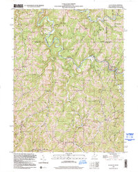
2023 Map of Littleton
USGS Topo · Published 2023About this map
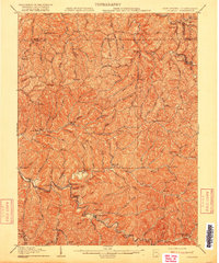
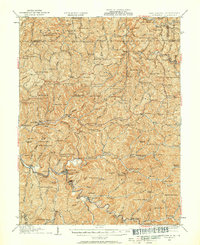
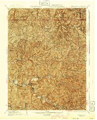
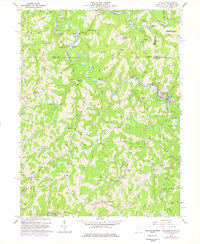
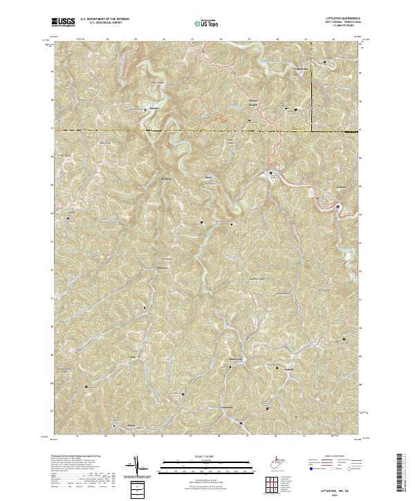
Littleton serves as a focal point in this portion of Wetzel County, situated along the West Virginia Fork Fish Creek. The landscape is defined by a dense network of ridges and hollows, including Miller Ridge, Rice Ridge, and Amos Hollow, which dictate the placement of small settlements and family cemeteries. Small rural communities like Endicott, Wade, and Anthem are connected by narrow roads that follow the winding valley floors of Mudlick Run and Knob Fork. The distribution of burial sites, such as Meadowdale Cem and Jolliffee Cem, highlights the long-standing family ties to these specific drainages. Of particular note is the junction of state and county borders, where Marshall County and Wetzel County meet the Pennsylvania line near Georgetown. This borderland character is emphasized by the parallel paths of the Pennsylvania Fork Fish Creek and its West Virginian counterpart.
Find a feature on this map
94 named features on this map. Tap any name to fly to it.
Don’t see what you’re looking for? This feature index may not catch every label — zoom into the map to look around manually.
Map Details
Editions of this 2023 Littleton Map
This is the sole edition of this map. No revisions or reprints were ever made.
Historical Maps of Denver Heights Through Time
7 maps found