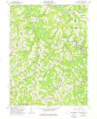
1960 Map of Littleton
USGS Topo · Published 1977About this map
Littleton serves as the primary hub along the Baltimore and Ohio RR in this 1960 survey, situated at a sharp bend in the Fork Fish Creek. The landscape is a complex network of ridges and hollows, including Miller Ridge, Rice Ridge, and Windy Ridge, which define the settlement patterns of this border region where Wetzel and Marshall Counties meet. Dozens of gas and oil wells are peppered throughout the drainages of Hickman Run and Rocky Run, reflecting the area's intensive resource extraction during the mid-century era.
Find a feature on this map
73 named features on this map. Tap any name to fly to it.
Don’t see what you’re looking for? This feature index may not catch every label — zoom into the map to look around manually.
Map Details
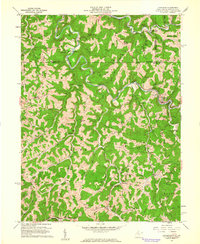
Editions of this 1960 Littleton Map
2 editions found
Other maps of this area

1903 · Littleton
USGS Topo · 1:62,500

1904 · Cameron
USGS Topo · 1:62,500

1905 · Mannington
USGS Topo · 1:62,500

1905 · Rogersville
USGS Topo · 1:62,500

1905 · Littleton
USGS Topo · 1:62,500

1923 · Mannington
USGS Topo · 1:62,500

1924 · Littleton
USGS Topo · 1:62,500

1926 · Littleton
USGS Topo · 1:62,500

1926 · Mannington
USGS Topo · 1:62,500

1935 · Cameron
USGS Topo · 1:62,500