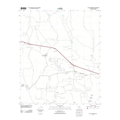
2012 Map of Live Oak Springs
USGS Topo · Published 2012About this map
Tecate Divide crests this high-elevation landscape in eastern San Diego County, marking a significant topographical transition between the Pacific and desert watersheds. The settlement of Boulevard and the surrounding community of Live Oak Springs are situated along the historic corridor of Old Highway 80, which remains a primary artery for the region alongside modern routes. Local heritage is centered around established landmarks such as the Saint Carmel Cem near Hill Valley, and the rural outposts of Manzanita and Calexico Lodge. The terrain is characterized by a series of prominent peaks, including Goat Mountain, Old George Mountain, and Music Mountain, which tower over drainages like Walker Cr and Boundary Cr. These features, along with the notable presence of Lark Canyon and Tule Lake, define a landscape shaped by both the high-desert environment and the transportation networks that connect these remote mountain communities.
Find a feature on this map
76 named features on this map. Tap any name to fly to it.
Don’t see what you’re looking for? This feature index may not catch every label — zoom into the map to look around manually.
Map Details
Editions of this 2012 Live Oak Springs Map
This is the sole edition of this map. No revisions or reprints were ever made.
Other maps of this area

1931 · Carrizo
USGS Topo · 1:125,000

1939 · Campo
USGS Topo · 1:62,500

1939 · Jacumba
USGS Topo · 1:62,500

1942 · Campo
USGS Topo · 1:62,500

1942 · Carrizo Mtn
USGS Topo · 1:62,500

1942 · Jacumba
USGS Topo · 1:62,500

1942 · Cuyapaipe
USGS Topo · 1:62,500

1950 · San Diego
USGS Topo · 1:250,000

1954 · San Diego
USGS Topo · 1:250,000

1955 · San Diego
USGS Topo · 1:250,000