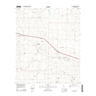
2015 Map of Live Oak Springs
USGS Topo · Published 2015About this map
Tecate Divide separates the drainage basins of this high-altitude landscape where the communities of Live Oak Springs, Manzanita, and Boulevard are established. The 2015 topography reveals a complex network of canyons and valleys, including Diabold Canyon and McCain Valley, which have long influenced the placement of transportation routes like Old Highway 80. This corridor has historically served as a vital link through the mountains of eastern San Diego County.
Find a feature on this map
74 named features on this map. Tap any name to fly to it.
Don’t see what you’re looking for? This feature index may not catch every label — zoom into the map to look around manually.
Map Details
Editions of this 2015 Live Oak Springs Map
This is the sole edition of this map. No revisions or reprints were ever made.
Other maps of this area

1931 · Carrizo
USGS Topo · 1:125,000

1939 · Campo
USGS Topo · 1:62,500

1939 · Jacumba
USGS Topo · 1:62,500

1942 · Campo
USGS Topo · 1:62,500

1942 · Carrizo Mtn
USGS Topo · 1:62,500

1942 · Jacumba
USGS Topo · 1:62,500

1942 · Cuyapaipe
USGS Topo · 1:62,500

1950 · San Diego
USGS Topo · 1:250,000

1954 · San Diego
USGS Topo · 1:250,000

1955 · San Diego
USGS Topo · 1:250,000