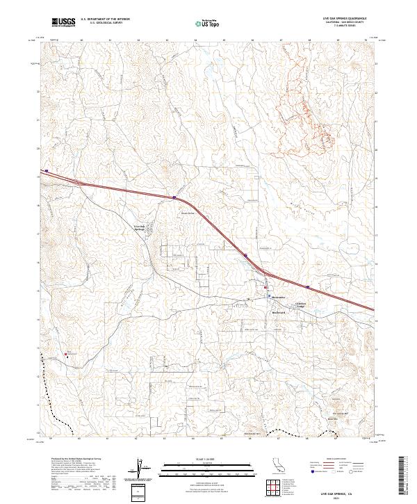
2021 Map of Live Oak Springs
USGS Topo · Published 2021About this map
Tecate Divide serves as a prominent geographic spine for this high-desert region of San Diego County, separating the drainages of Miller Cr and Walker Cr. The settlement patterns here are clustered along the major transport corridor, with Live Oak Springs and Manzanita serving as key landmarks. Cultural sites like Saint Carmel Cem and the Calexico Lodge suggest a history of both community settlement and seasonal residency. The landscape is defined by its dramatic elevation changes, ranging from the depths of Diabold Canyon to the summits of Rattlesnake Mtn and Old George Mtn. Water is a scarce but critical element, evidenced by the ephemeral Tule Creek and the presence of Tule Lake, which provide vital points of reference in the arid valleys of McCain Valley and Jewell Valley.
Find a feature on this map
116 named features on this map. Tap any name to fly to it.
Don’t see what you’re looking for? This feature index may not catch every label — zoom into the map to look around manually.
Map Details
Editions of this 2021 Live Oak Springs Map
This is the sole edition of this map. No revisions or reprints were ever made.
Other maps of this area

1931 · Carrizo
USGS Topo · 1:125,000

1939 · Campo
USGS Topo · 1:62,500

1939 · Jacumba
USGS Topo · 1:62,500

1942 · Campo
USGS Topo · 1:62,500

1942 · Carrizo Mtn
USGS Topo · 1:62,500

1942 · Jacumba
USGS Topo · 1:62,500

1942 · Cuyapaipe
USGS Topo · 1:62,500

1950 · San Diego
USGS Topo · 1:250,000

1954 · San Diego
USGS Topo · 1:250,000

1955 · San Diego
USGS Topo · 1:250,000