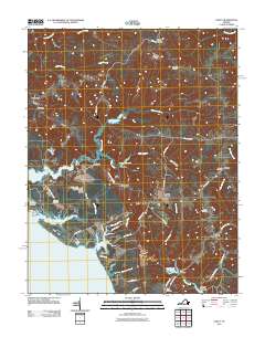
2011 Map of Lively
USGS Topo · Published 2011About this map
The Rappahannock River shoreline and the network of tidal creeks defining the Virginia Northern Neck dominate this landscape. Settlement patterns are focused around historic crossroads and water access points, with places like Lively and Nuttsville serving as inland hubs, while Woodhouse Landing and Griffins Landing mark the long-standing importance of river transport. The presence of multiple historic burial grounds, including Hopewell Cemetery and Beulah Cemetery, reflects the deep-rooted family genealogies of Lancaster County.
Find a feature on this map
62 named features on this map. Tap any name to fly to it.
Don’t see what you’re looking for? This feature index may not catch every label — zoom into the map to look around manually.
Map Details
Editions of this 2011 Lively Map
This is the sole edition of this map. No revisions or reprints were ever made.
Other maps of this area

1916 · Kilmarnock
USGS Topo · 1:48,000

1917 · Heathsville
USGS Topo · 1:48,000

1917 · Urbanna
USGS Topo · 1:62,500

1917 · Morattico
USGS Topo · 1:62,500

1917 · Kilmarnock
USGS Topo · 1:62,500

1918 · Morattico
USGS Topo · 1:62,500

1926 · Morattico
USGS Topo · 1:62,500

1942 · Kilmarnock
USGS Topo · 1:62,500

1943 · Richmond
USGS Topo · 1:250,000

1944 · Morattico
USGS Topo · 1:31,680