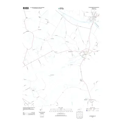
2013 Map of Livermore
USGS Topo · Published 2013About this map
Green River and Rough River converge at the settlement of Livermore, where a complex network of roads and bridges historically managed the local drainage. The landscape is defined by the wide Cypress Bottom, a low-lying area drained by Cypress Cr, which separates the higher ground of Boehler Knob and Bates Knob from the eastern plateaus. This 2013 survey illustrates the modern layout of rural McLean County, showing the proximity of small communities like Island, Buttonsberry, and Semiway. Local transit is anchored by several named crossings, including Vicker Bridge, Bryant Bridge, and Sketo Bridge. Aviation interest is represented by the David Lowe Airport in the southwest quadrant, while the southeast is home to the community of Moorman.
Find a feature on this map
97 named features on this map. Tap any name to fly to it.
Don’t see what you’re looking for? This feature index may not catch every label — zoom into the map to look around manually.
Map Details
Editions of this 2013 Livermore Map
This is the sole edition of this map. No revisions or reprints were ever made.
Other maps of this area

1906 · Sutherland
USGS Topo · 1:62,500

1908 · Calhoun
USGS Topo · 1:62,500

1909 · Madisonville
USGS Topo · 1:62,500

1909 · Central City
USGS Topo · 1:62,500

1952 · Equality
USGS Topo · 1:24,000

1952 · Livermore
USGS Topo · 1:24,000

1952 · Sacramento
USGS Topo · 1:24,000

1952 · Calhoun
USGS Topo · 1:24,000

1953 · Central City West
USGS Topo · 1:24,000

1953 · Central City East
USGS Topo · 1:24,000