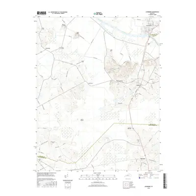
2016 Map of Livermore
USGS Topo · Published 2016About this map
The Green River meanders through the heart of this landscape, forming the historical boundary between McLean and Ohio counties before meeting the low-lying reaches of Cypress Bottom. The town of Livermore sits at a strategic bend in the river, served by a network of local roads including Richland Rd and Sand Hill Rd. Further south, the map illustrates the rural character of the area around Island and Moorman, where agriculture and transport intersect.
Find a feature on this map
75 named features on this map. Tap any name to fly to it.
Don’t see what you’re looking for? This feature index may not catch every label — zoom into the map to look around manually.
Map Details
Editions of this 2016 Livermore Map
This is the sole edition of this map. No revisions or reprints were ever made.
Other maps of this area

1906 · Sutherland
USGS Topo · 1:62,500

1908 · Calhoun
USGS Topo · 1:62,500

1909 · Madisonville
USGS Topo · 1:62,500

1909 · Central City
USGS Topo · 1:62,500

1952 · Equality
USGS Topo · 1:24,000

1952 · Livermore
USGS Topo · 1:24,000

1952 · Sacramento
USGS Topo · 1:24,000

1952 · Calhoun
USGS Topo · 1:24,000

1953 · Central City West
USGS Topo · 1:24,000

1953 · Central City East
USGS Topo · 1:24,000