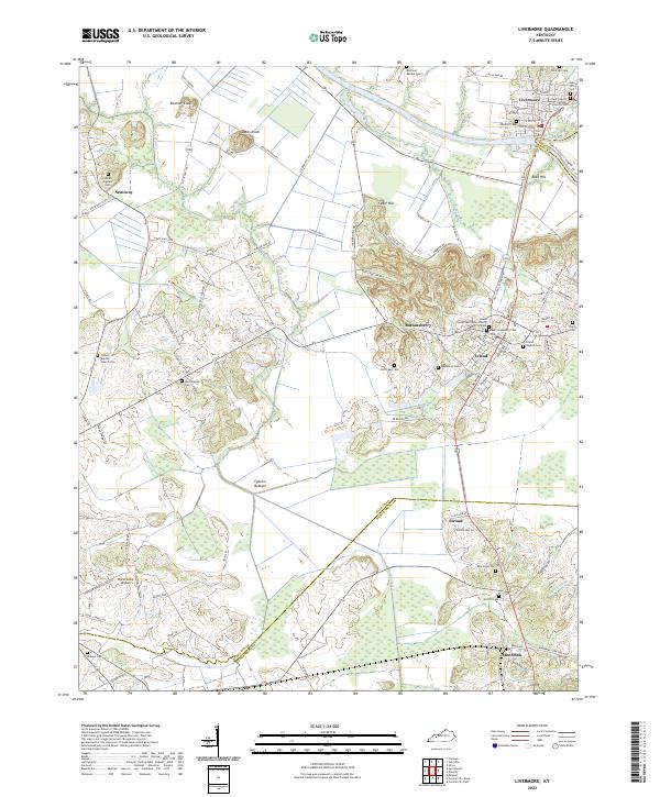
2022 Map of Livermore
USGS Topo · Published 2022About this map
The confluence of the Green River and Rough River anchors this study of the landscape around Livermore, Kentucky. The town's grid extends toward the riverbanks, where the boundary between McLean and Ohio counties follows the shifting watercourse. To the south, the settlement of Island sits atop a rise overlooking the extensive wetlands of Cypress Bottom, a topographic pattern that likely influenced the historical naming of the community.
Find a feature on this map
95 named features on this map. Tap any name to fly to it.
Don’t see what you’re looking for? This feature index may not catch every label — zoom into the map to look around manually.
Map Details
Editions of this 2022 Livermore Map
This is the sole edition of this map. No revisions or reprints were ever made.
Other maps of this area

1906 · Sutherland
USGS Topo · 1:62,500

1908 · Calhoun
USGS Topo · 1:62,500

1909 · Madisonville
USGS Topo · 1:62,500

1909 · Central City
USGS Topo · 1:62,500

1952 · Equality
USGS Topo · 1:24,000

1952 · Livermore
USGS Topo · 1:24,000

1952 · Sacramento
USGS Topo · 1:24,000

1952 · Calhoun
USGS Topo · 1:24,000

1953 · Central City West
USGS Topo · 1:24,000

1953 · Central City East
USGS Topo · 1:24,000