
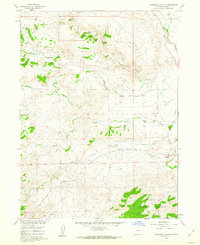
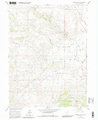
1960 Map of Livermore Mountain
USGS Topo · Published 1968About this map
The Livermore (Old Site) serves as a primary historical anchor in this northern Larimer County landscape, situated where the North Fork Cache la Poudre River meets the local road network. The map reveals a complex drainage system defined by the various branches of Rabbit Creek, including the Middle Fork Rabbit Creek, South Fork Rabbit Creek, and North Fork Rabbit Creek.
Find a feature on this map
17 named features on this map. Tap any name to fly to it.
Don’t see what you’re looking for? This feature index may not catch every label — zoom into the map to look around manually.
Map Details
Editions of this 1960 Livermore Mountain Map
Other maps of this area

1906 · Fort Collins
USGS Topo · 1:62,500

1907 · Livermore
USGS Topo · 1:125,000

1908 · Fort Collins
USGS Topo · 1:62,500

1909 · Livermore
USGS Topo · 1:125,000

1954 · Greeley
USGS Topo · 1:250,000

1957 · Greeley
USGS Topo · 1:250,000

1958 · Greeley
USGS Topo · 1:250,000

1960 · Livermore
USGS Topo · 1:24,000

1960 · Haystack Gulch
USGS Topo · 1:24,000

1961 · Greeley
USGS Topo · 1:250,000