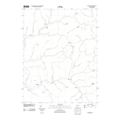
2011 Map of Liverpool
USGS Topo · Published 2011About this map
The Right Fork Sandy Creek defines the valley floor of this rural Jackson County landscape, where the small settlements of Liverpool and Leroy anchor the local geography. The map reveals a high concentration of family-named cemeteries and landmarks essential for genealogical research, including Duncan Cemetery, Union Chapel Cemetery, and Garder Cemetery. These sites are linked by a network of winding ridge-top and hollow roads like Windy Ridge Rd and Garfield Rd.
Find a feature on this map
93 named features on this map. Tap any name to fly to it.
Don’t see what you’re looking for? This feature index may not catch every label — zoom into the map to look around manually.
Map Details
Editions of this 2011 Liverpool Map
This is the sole edition of this map. No revisions or reprints were ever made.
Other maps of this area

1906 · Elizabeth
USGS Topo · 1:62,500

1906 · Belleville
USGS Topo · 1:62,500

1907 · Spencer
USGS Topo · 1:62,500

1907 · Ripley
USGS Topo · 1:62,500

1924 · Belleville
USGS Topo · 1:62,500

1924 · Elizabeth
USGS Topo · 1:62,500

1926 · Elizabeth
USGS Topo · 1:62,500

1926 · Belleville
USGS Topo · 1:62,500

1926 · Ripley
USGS Topo · 1:62,500

1928 · Spencer
USGS Topo · 1:62,500