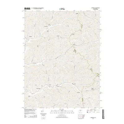
2014 Map of Liverpool
USGS Topo · Published 2014About this map
The borderlands of Jackson, Roane, and Wirt Counties come together in this dissected plateau region defined by a intricate network of hollows and runs. Small, established communities like Liverpool and LeRoy are situated along the lower elevations, while family-named landmarks and cemeteries are scattered across the high ground. Notable burial sites such as Sheppard Chapel Cem and Gridley Cem suggest deep ancestral roots in the area. The landscape is deeply carved by water, with Lockhart Fork and the Left Fork Sandy Creek serving as the primary drainage for the surrounding hills. This 2014 survey shows the persistence of rural settlements like Wiseburg and Lockhart, connected by historic routes like Old US-21 and Turkey Fork Rd, reflecting a traditional Appalachian settlement pattern where ridges and valleys dictate the local geography.
Find a feature on this map
78 named features on this map. Tap any name to fly to it.
Don’t see what you’re looking for? This feature index may not catch every label — zoom into the map to look around manually.
Map Details
Editions of this 2014 Liverpool Map
This is the sole edition of this map. No revisions or reprints were ever made.
Other maps of this area

1906 · Elizabeth
USGS Topo · 1:62,500

1906 · Belleville
USGS Topo · 1:62,500

1907 · Spencer
USGS Topo · 1:62,500

1907 · Ripley
USGS Topo · 1:62,500

1924 · Belleville
USGS Topo · 1:62,500

1924 · Elizabeth
USGS Topo · 1:62,500

1926 · Elizabeth
USGS Topo · 1:62,500

1926 · Belleville
USGS Topo · 1:62,500

1926 · Ripley
USGS Topo · 1:62,500

1928 · Spencer
USGS Topo · 1:62,500