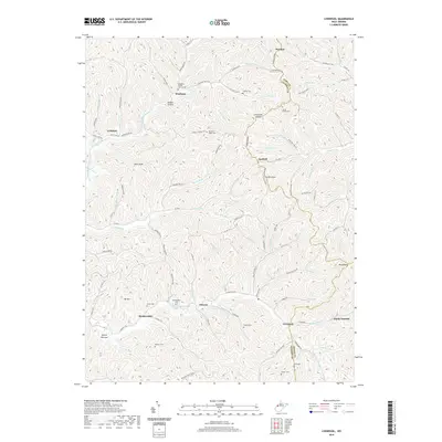
2019 Map of Liverpool
USGS Topo · Published 2019About this map
Left Fork Sandy Creek and its many winding tributaries define the deeply dissected landscape of Jackson, Wirt, and Roane counties. The settlement pattern follows the narrow valley floors and ridgelines, with small communities like Liverpool, Duncan, and Wiseburg serving as local anchors. This modern survey reflects the enduring rural character of the region, where family history is etched into the terrain through numerous upland burial grounds, including the Pleasant Ridge Cem and Gridley Cem.
Find a feature on this map
96 named features on this map. Tap any name to fly to it.
Don’t see what you’re looking for? This feature index may not catch every label — zoom into the map to look around manually.
Map Details
Editions of this 2019 Liverpool Map
This is the sole edition of this map. No revisions or reprints were ever made.
Other maps of this area

1906 · Elizabeth
USGS Topo · 1:62,500

1906 · Belleville
USGS Topo · 1:62,500

1907 · Spencer
USGS Topo · 1:62,500

1907 · Ripley
USGS Topo · 1:62,500

1924 · Belleville
USGS Topo · 1:62,500

1924 · Elizabeth
USGS Topo · 1:62,500

1926 · Elizabeth
USGS Topo · 1:62,500

1926 · Belleville
USGS Topo · 1:62,500

1926 · Ripley
USGS Topo · 1:62,500

1928 · Spencer
USGS Topo · 1:62,500