2023 Map of Livingston Manor
USGS Topo · Published 2023About this map
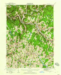
Livingston Manor serves as the focal point of this Sullivan County landscape, situated at the confluence of Willowemoc Creek and the Little Beaver Kill. The town's grid is dense with residential detail, including School St and the Orchard Street Cem, reflecting its development as a regional hub. To the north and west, the terrain rises into significant elevations like Burnt Hill and Rattle Hill, where small settlements such as Beaverkill and Deckertown remain connected by winding routes like Hazel Rd and Co Rd 151.
Find a feature on this map
116 named features on this map. Tap any name to fly to it.
Don’t see what you’re looking for? This feature index may not catch every label — zoom into the map to look around manually.
Map Details
Editions of this 2023 Livingston Manor Map
This is the sole edition of this map. No revisions or reprints were ever made.
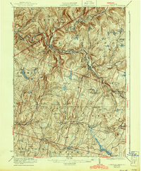
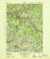
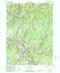
Historical Maps of Joscelyn Through Time
5 maps found