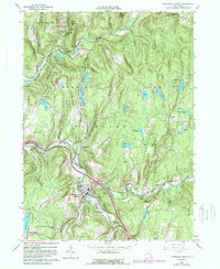
1965 Map of Livingston Manor
USGS Topo · Published 1989About this map
Livingston Manor serves as the hub of this Catskill region, situated at the confluence of the Willowemoc Creek and the Little Beaver Kill. The 1960s landscape shows a community deeply integrated with its water resources, featuring a Covered Bridge near the town center and the Livingston Manor Airport alongside the winding creek. The surrounding terrain is defined by steep hollows like Pelnor Hollow and high ridges such as Rattlesnake Ridge, which separate the various camps and recreational sites that dot the area, including the Onteora Scout Reservation and Hi-Li International Boys Camp.
Find a feature on this map
66 named features on this map. Tap any name to fly to it.
Don’t see what you’re looking for? This feature index may not catch every label — zoom into the map to look around manually.
Map Details
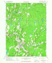
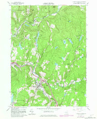
Editions of this 1965 Livingston Manor Map
3 editions found
Other maps of this area

1901 · Margaretville
USGS Topo · 1:62,500

1904 · Margaretville
USGS Topo · 1:62,500

1910 · Neversink
USGS Topo · 1:62,500

1921 · Livingston Manor
USGS Topo · 1:62,500

1922 · Andes
USGS Topo · 1:62,500

1923 · Livingston Manor
USGS Topo · 1:62,500

1924 · Andes
USGS Topo · 1:62,500

1942 · Neversink
USGS Topo · 1:62,500

1943 · Monticello
USGS Topo · 1:125,000

1944 · Livingston Manor
USGS Topo · 1:62,500