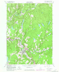
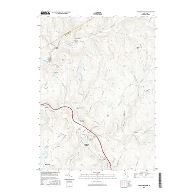
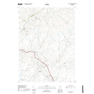
1965 Map of Livingston Manor
USGS Topo · Published 1982About this map
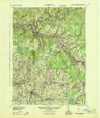
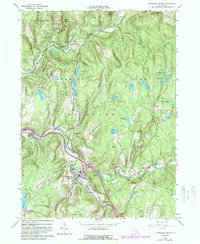
Livingston Manor serves as the primary hub of this Catskill region, situated where the Little Beaver Kill joins the Willowemoc Creek. This 1965 survey, updated in the early 1980s, reveals a landscape defined by recreational camps and traditional burial grounds, including Agudas Achim Cem and St Aloysius Cem. The map illustrates the era's infrastructure with the presence of Interchange 96 and Interchange 97, alongside the local Livingston Manor Airport. Northward, the terrain rises into the Catskill Park and several forest preserves, dotted with numerous water bodies like Waneta Lake and Orchard Lake. Notable institutional landmarks such as the Onteora Scout Reservation and Hi-Li International Boys Camp signify the area's importance as a summer retreat and youth scouting destination during the mid-to-late 20th century.
Find a feature on this map
70 named features on this map. Tap any name to fly to it.
Don’t see what you’re looking for? This feature index may not catch every label — zoom into the map to look around manually.
Map Details
Editions of this 1965 Livingston Manor Map
3 editions found
Historical Maps of Liberty Through Time
9 maps found
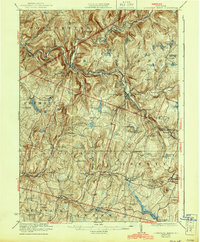
1921 Livingston Manor
Sullivan County, NY
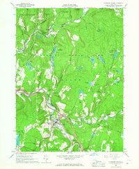
1923 Livingston Manor
Sullivan County, NY
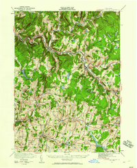
1944 Livingston Manor
Sullivan County, NY
1965 Livingston Manor
Sullivan County, NY
2010 Livingston Manor
Sullivan County, NY
2013 Livingston Manor
Sullivan County, NY
2016 Livingston Manor
Sullivan County, NY
2019 Livingston Manor
Sullivan County, NY

2023 Livingston Manor
Sullivan County, NY