
1944 Map of Livingston
USGS Topo · Published 1944About this map
The Cumberland River and its major tributaries define this landscape along the Tennessee-Kentucky border during a period of massive engineering. While Celina and Tompkinsville serve as primary hubs, the most significant feature is the emerging Dale Hollow Reservoir. At the time of this survey, the basin was preparing for a dramatic change; the Dale Hollow Dam was in place, and the reservoir was scheduled to be filled in early 1943.
Find a feature on this map
124 named features on this map. Tap any name to fly to it.
Don’t see what you’re looking for? This feature index may not catch every label — zoom into the map to look around manually.
Map Details
Editions of this 1944 Livingston Map
This is the sole edition of this map. No revisions or reprints were ever made.
Other maps of this area

1897 · Standingstone
USGS Topo · 1:125,000

1898 · Standingstone
USGS Topo · 1:125,000

1924 · Lillydale
USGS Topo · 1:62,500

1926 · Lillydale
USGS Topo · 1:62,500

1929 · Lillydale
USGS Topo · 1:62,500

1929 · Byrdstown
USGS Topo · 1:62,500

1951 · Windle
USGS Topo · 1:24,000

1954 · Crawford
USGS Topo · 1:24,000
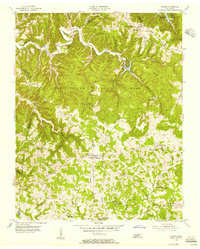
1955 · Hilham
USGS Topo · 1:24,000
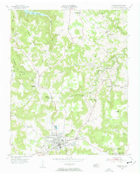
1955 · Livingston
USGS Topo · 1:24,000