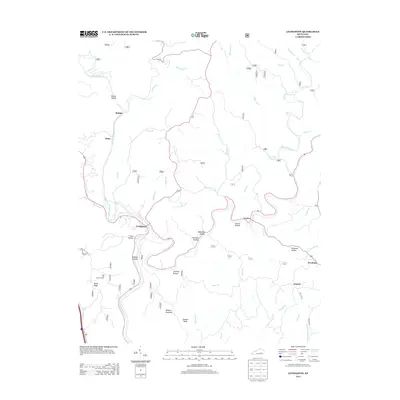
2013 Map of Livingston
USGS Topo · Published 2013About this map
Livingston occupies a strategic bend in the Rockcastle River, where the landscape is defined by a dense network of hollows and ridges. This 2013 survey illustrates how settlement patterns in this part of Kentucky have historically followed the drainage of the river and its numerous tributaries, including Roundstone Cr and Crooked Cr. The topography is particularly pronounced in the southern reaches, where Wildcat Mountain and Hoosier Knob overlook the river valley, and Sand Hill Lookout Tower stands atop Sandy Ridge.
Find a feature on this map
43 named features on this map. Tap any name to fly to it.
Don’t see what you’re looking for? This feature index may not catch every label — zoom into the map to look around manually.
Map Details
Editions of this 2013 Livingston Map
This is the sole edition of this map. No revisions or reprints were ever made.
Other maps of this area

1893 · London
USGS Topo · 1:125,000

1897 · London
USGS Topo · 1:125,000

1952 · Billows
USGS Topo · 1:24,000

1952 · Bernstadt
USGS Topo · 1:24,000

1952 · London
USGS Topo · 1:24,000

1953 · Johnetta
USGS Topo · 1:24,000

1953 · Sandgap
USGS Topo · 1:24,000

1953 · Wildie
USGS Topo · 1:24,000

1953 · Livingston
USGS Topo · 1:24,000

1953 · Mount Vernon
USGS Topo · 1:24,000