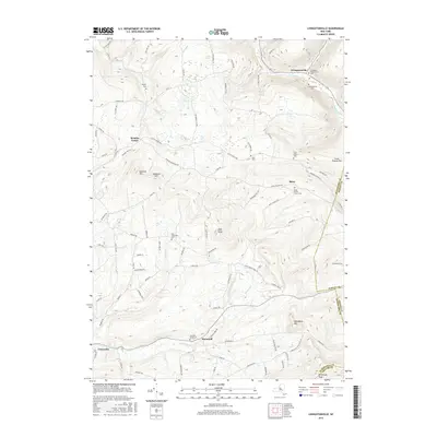
2016 Map of Livingstonville
USGS Topo · Published 2016About this map
Livingstonville sits at the northern edge of this highland landscape where Catskill Creek and Lake Creek converge. The terrain is defined by significant elevations like High Knob and Steenburg Mountain, with the Manor Kill cutting through the southern reaches near the settlement of Manorkill. This modern topographic study reveals a deeply rooted rural community, marked by numerous small burial grounds that preserve the area's genealogical history.
Find a feature on this map
93 named features on this map. Tap any name to fly to it.
Don’t see what you’re looking for? This feature index may not catch every label — zoom into the map to look around manually.
Map Details
Editions of this 2016 Livingstonville Map
This is the sole edition of this map. No revisions or reprints were ever made.
Other maps of this area

1893 · Durham
USGS Topo · 1:62,500

1894 · Durham
USGS Topo · 1:62,500

1898 · Schoharie
USGS Topo · 1:62,500

1900 · Schoharie
USGS Topo · 1:62,500

1900 · Berne
USGS Topo · 1:62,500

1901 · Gilboa
USGS Topo · 1:62,500

1903 · Gilboa
USGS Topo · 1:62,500

1903 · Berne
USGS Topo · 1:62,500

1943 · Breakabeen
USGS Topo · 1:24,000
1944 · Middleburgh
USGS Topo · 1:24,000