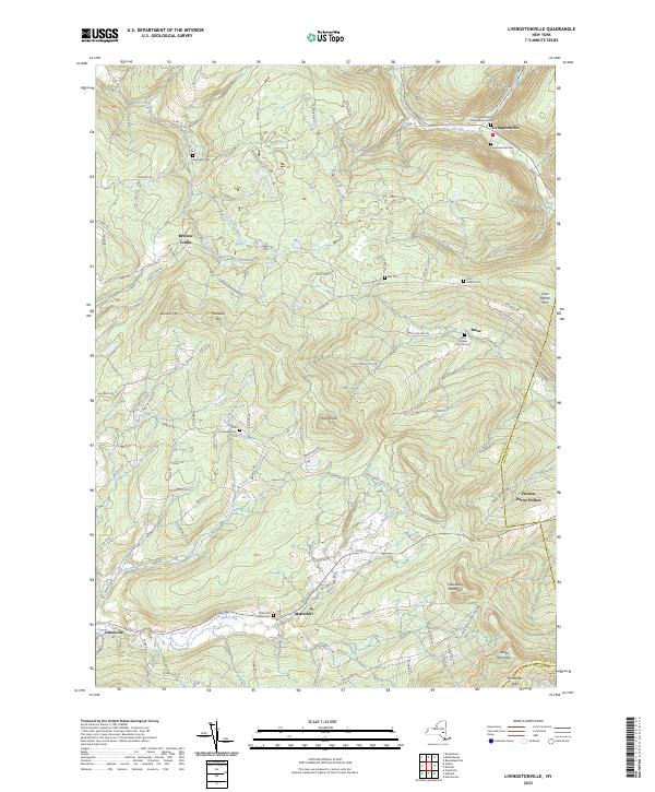
2023 Map of Livingstonville
USGS Topo · Published 2023About this map
Livingstonville and the surrounding Catskill uplands are defined by a complex network of small hamlets and high-elevation terrain. This modern documentation reveals how 19th-century settlement patterns persist in the landscape, with family names preserved in features like Scott Patent Hill and the Ellis Cem. The area serves as a triple junction for county borders, where Schoharie, Albany, and Greene counties meet near Preston-Potter Hollow.
Find a feature on this map
98 named features on this map. Tap any name to fly to it.
Don’t see what you’re looking for? This feature index may not catch every label — zoom into the map to look around manually.
Map Details
Editions of this 2023 Livingstonville Map
This is the sole edition of this map. No revisions or reprints were ever made.
Other maps of this area

1893 · Durham
USGS Topo · 1:62,500

1894 · Durham
USGS Topo · 1:62,500

1898 · Schoharie
USGS Topo · 1:62,500

1900 · Schoharie
USGS Topo · 1:62,500

1900 · Berne
USGS Topo · 1:62,500

1901 · Gilboa
USGS Topo · 1:62,500

1903 · Gilboa
USGS Topo · 1:62,500

1903 · Berne
USGS Topo · 1:62,500

1943 · Breakabeen
USGS Topo · 1:24,000
1944 · Middleburgh
USGS Topo · 1:24,000