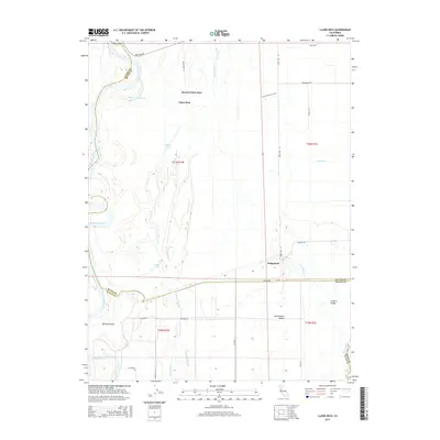
2015 Map of Llano Seco
USGS Topo · Published 2015About this map
Rancho Llano Seco dominates this portion of the Sacramento Valley, where complex hydrology defines the border between Glenn and Butte counties. The Sacramento River meanders along the western edge, creating landforms like Ryan Island and Hartley Island and feeding into backwaters such as The Lagoon. This 2015 survey illustrates a landscape of managed water and agricultural infrastructure, evidenced by the Odell Canal and the extensive network of sloughs, including Angel Slough and Campbell Slough, which thread through the low-lying terrain. Small settlements and staging points like Llano Seco and Dodgeland anchor the local road system, while the Llano Seco Unit Trail suggests a balance between working lands and conservation. The mapping of Perkins Lake and Eddy Lake provides a detailed record of the valley’s natural drainage patterns amidst established ranching and farming operations.
Find a feature on this map
37 named features on this map. Tap any name to fly to it.
Don’t see what you’re looking for? This feature index may not catch every label — zoom into the map to look around manually.
Map Details
Editions of this 2015 Llano Seco Map
This is the sole edition of this map. No revisions or reprints were ever made.
Other maps of this area

1888 · Marysville
USGS Topo · 1:125,000

1891 · Chico
USGS Topo · 1:125,000

1891 · Marysville
USGS Topo · 1:125,000

1893 · Chico
USGS Topo · 1:125,000

1894 · Marysville
USGS Topo · 1:125,000

1895 · Marysville
USGS Topo · 1:125,000

1895 · Chico
USGS Topo · 1:125,000

1906 · Maxwell
USGS Topo · 1:62,500

1906 · Willows
USGS Topo · 1:62,500

1911 · Landlow
USGS Topo · 1:31,680