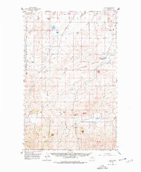
1956 Map of Lloyd
USGS Topo · Published 1978About this map
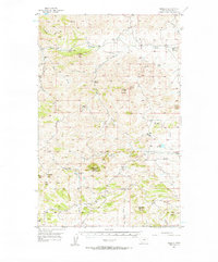
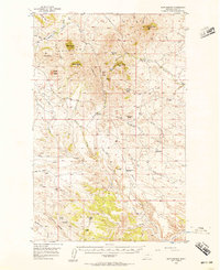
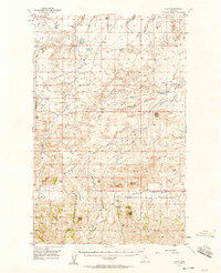
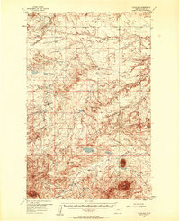
The Bearpaw Mountains dominate the southern landscape of this 1950s Montana survey, characterized by prominent landmarks like Mans Head Rock and Lloyd Butte. This high-plains terrain is defined by a network of drainage systems, including Snake Creek, Tiger Creek, and Grasshopper Coulee, which cut through the ridges and buttes. The settlement of Lloyd serves as the primary focal point in the south, supported by the Lloyd Sch.
Find a feature on this map
26 named features on this map. Tap any name to fly to it.
Don’t see what you’re looking for? This feature index may not catch every label — zoom into the map to look around manually.
Map Details
Editions of this 1956 Lloyd Map
2 editions found
Other maps of this area
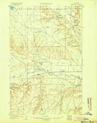
1904 · Yantic
USGS Topo · 1:62,500
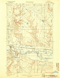
1904 · Chinook
USGS Topo · 1:62,500
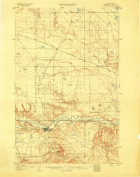
1904 · Havre
USGS Topo · 1:62,500

1912 · Zurich
USGS Topo · 1:125,000

1912 · Thibedeau Lake
USGS Topo · 1:125,000

1953 · Havre
USGS Topo · 1:250,000
1956 · Maddux
USGS Topo · 1:62,500
1956 · Rattlesnake
USGS Topo · 1:62,500
1956 · Lloyd
USGS Topo · 1:62,500
1956 · Cleveland
USGS Topo · 1:62,500