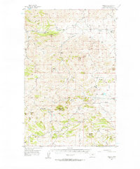
1956 Map of Maddux
USGS Topo · Published 1957About this map
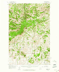
Sawtooth Mountain and Corrigan Mountain anchor this mid-century survey of the rugged highlands south of the Peoples Creek valley. The 1950s landscape is defined by its sparse but organized settlement, where small ranching communities and remote educational outposts serve the sprawling terrain. The small community of Maddux sits centrally, while the T U Ranch occupies the southern reaches near T U Bench.
Find a feature on this map
34 named features on this map. Tap any name to fly to it.
Don’t see what you’re looking for? This feature index may not catch every label — zoom into the map to look around manually.
Map Details
Editions of this 1956 Maddux Map
This is the sole edition of this map. No revisions or reprints were ever made.
Other maps of this area

1953 · Havre
USGS Topo · 1:250,000

1954 · Lewistown
USGS Topo · 1:250,000
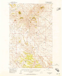
1956 · Rattlesnake
USGS Topo · 1:62,500
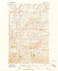
1956 · Lloyd
USGS Topo · 1:62,500
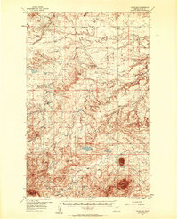
1956 · Cleveland
USGS Topo · 1:62,500

1957 · Havre
USGS Topo · 1:250,000

1958 · Havre
USGS Topo · 1:250,000

1959 · Lewistown
USGS Topo · 1:250,000
1959 · Warrick
USGS Topo · 1:62,500
1959 · Shambo
USGS Topo · 1:62,500