
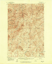
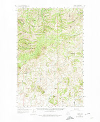
1959 Map of Warrick
USGS Topo · Published 1961About this map
The Rocky Boy Indian Reservation dominates the northern portion of this landscape, encompassing prominent peaks such as Moses Mtn, Bailey Peak, and Bowery Peak. The high country of the Bearpaw Mountains defines the drainage patterns, where Beaver Creek and Miners Gulch flow through deep canyons. Traces of early 20th-century industry and infrastructure appear at the Silver King Mine and the Upper Dog Creek Sch, reflecting the sparse but established ranching and mining presence in the area. Further south, the terrain transitions into the distinct formations of Tiger Ridge and Haystack Butte. The settlement of Warrick serves as a central point in this transition zone, surrounded by a complex network of ephemeral waterways like Connelly Creek and Birch Creek, which eventually feed into the Big Sandy Creek basin.
Find a feature on this map
51 named features on this map. Tap any name to fly to it.
Don’t see what you’re looking for? This feature index may not catch every label — zoom into the map to look around manually.
Map Details
Editions of this 1959 Warrick Map
3 editions found
Other maps of this area

1953 · Havre
USGS Topo · 1:250,000

1954 · Lewistown
USGS Topo · 1:250,000

1956 · Maddux
USGS Topo · 1:62,500

1956 · Lloyd
USGS Topo · 1:62,500

1957 · Havre
USGS Topo · 1:250,000

1958 · Havre
USGS Topo · 1:250,000

1959 · Lewistown
USGS Topo · 1:250,000

1959 · Laredo
USGS Topo · 1:62,500

1959 · Centennial Mountain
USGS Topo · 1:62,500

1959 · Shambo
USGS Topo · 1:62,500