
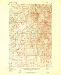
1959 Map of Centennial Mountain
USGS Topo · Published 1961About this map
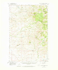
The Rocky Boy Indian Reservation occupies the northern half of this landscape, where the northern reaches of the Bearpaw Mountains rise from the surrounding plains. The terrain is defined by a series of prominent summits and ridges, including Centennial Mountain, Table Butte, and the Forty-nine Butte along the Hill Co Chouteau Co line. This 1950s survey documents a landscape of traditional ranching and resource extraction, notably featuring the Rocky Boy Mine and other unnamed mines tucked within the drainage of Coal Mine Coulee. Below the reservation boundary, the land opens into a complex network of seasonal watercourses such as Godfrey Creek, Little Sandy Creek, and Eagle Creek, which navigate around isolated landmarks like Ryan Butte and Flying A Butte. These features trace the transition from high mountain slopes to the more level cattle country characteristic of central Montana.
Find a feature on this map
29 named features on this map. Tap any name to fly to it.
Don’t see what you’re looking for? This feature index may not catch every label — zoom into the map to look around manually.
Map Details
Editions of this 1959 Centennial Mountain Map
3 editions found
Other maps of this area

1890 · Fort Benton
USGS Topo · 1:250,000

1892 · Fort Benton
USGS Topo · 1:250,000

1897 · Fort Benton
USGS Topo · 1:250,000

1904 · Boxelder
USGS Topo · 1:62,500

1906 · Boxelder
USGS Topo · 1:62,500

1919 · Big Sandy
USGS Topo · 1:125,000

1953 · Lonetree Coulee
USGS Topo · 1:24,000

1953 · Pilot Rock
USGS Topo · 1:24,000

1953 · Havre
USGS Topo · 1:250,000

1954 · Great Falls
USGS Topo · 1:250,000