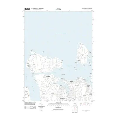
2011 Map of Lloyd Harbor
USGS Topo · Published 2011About this map
The prestigious north shore of Long Island is defined here by its massive private holdings and historic maritime landmarks. Lloyd Neck and Cove Neck dominate the coastline, characterized by expansive properties like the Marshall Field Estate, the W Jennings Estate, and the William B Leeds Estate. These large tracts preserve the open character of the peninsula, contrasting with the more dense residential grids of Huntington and Centerport to the south and east. Historic sites including Sagamore Hill and the 18th-century Lefferts Mill near Lloyd Harbor illustrate the deep colonial and political history rooted in this landscape.
Find a feature on this map
87 named features on this map. Tap any name to fly to it.
Don’t see what you’re looking for? This feature index may not catch every label — zoom into the map to look around manually.
Map Details
Editions of this 2011 Lloyd Harbor Map
This is the sole edition of this map. No revisions or reprints were ever made.
Other maps of this area

1892 · Stamford
USGS Topo · 1:62,500

1892 · Norwalk
USGS Topo · 1:62,500

1893 · Stamford
USGS Topo · 1:62,500

1893 · Norwalk
USGS Topo · 1:62,500

1897 · Oyster Bay
USGS Topo · 1:62,500

1898 · Oyster Bay
USGS Topo · 1:62,500

1899 · Stamford
USGS Topo · 1:62,500

1900 · Oyster Bay
USGS Topo · 1:62,500

1901 · Northport
USGS Topo · 1:62,500

1903 · Northport
USGS Topo · 1:62,500