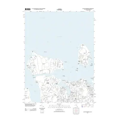
2013 Map of Lloyd Harbor
USGS Topo · Published 2013About this map
Lloyd Neck and Eatons Neck dominate this coastal landscape, illustrating the enduring presence of large private estates and maritime landmarks along the Long Island Sound. The map highlights the sprawling footprints of the Marshall Field Estate, Matherson Estate, and W L Smith Estate, reflecting a period of significant landholdings in this area of Nassau County. These estates, alongside newer residential clusters like Wincoma and Halesite, suggest a transition from historic agricultural and maritime uses to more modern suburban development.
Find a feature on this map
242 named features on this map. Tap any name to fly to it.
Don’t see what you’re looking for? This feature index may not catch every label — zoom into the map to look around manually.
Map Details
Editions of this 2013 Lloyd Harbor Map
This is the sole edition of this map. No revisions or reprints were ever made.
Other maps of this area

1892 · Stamford
USGS Topo · 1:62,500
1892 · Norwalk
USGS Topo · 1:62,500

1893 · Stamford
USGS Topo · 1:62,500
1893 · Norwalk
USGS Topo · 1:62,500

1897 · Oyster Bay
USGS Topo · 1:62,500
1898 · Oyster Bay
USGS Topo · 1:62,500
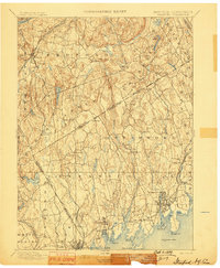
1899 · Stamford
USGS Topo · 1:62,500
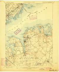
1900 · Oyster Bay
USGS Topo · 1:62,500
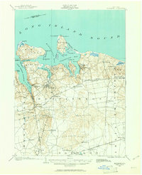
1901 · Northport
USGS Topo · 1:62,500
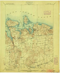
1903 · Northport
USGS Topo · 1:62,500