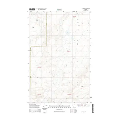
2014 Map of Lloyd NW
USGS Topo · Published 2014About this map
Tiger Ridge dominates the southern landscape of this Hill County and Blaine County borderland, where the terrain transitions from high ridges into a network of drainage coulees. The map illustrates a complex hydrologic system defined by Little Boxelder Cr and the winding course of Clear Cr. This rural Montana area is characterized by its large-scale land management, evidenced by the presence of Staff Reservoir and a system of utility roads such as Staff Rd and Clear Creek Rd. The naming of features like Daveys Coulee, Grasshopper Coulee, and Threemile Coulee reflects a landscape where water and topography dictated movement and settlement patterns along the county line. This survey captures the region's character as a sparsely populated grazing and water-management zone in the early twenty-first century.
Find a feature on this map
22 named features on this map. Tap any name to fly to it.
Don’t see what you’re looking for? This feature index may not catch every label — zoom into the map to look around manually.
Map Details
Editions of this 2014 Lloyd NW Map
This is the sole edition of this map. No revisions or reprints were ever made.
Other maps of this area

1904 · Yantic
USGS Topo · 1:62,500

1904 · Havre
USGS Topo · 1:62,500

1912 · Zurich
USGS Topo · 1:125,000

1912 · Thibedeau Lake
USGS Topo · 1:125,000

1953 · Havre
USGS Topo · 1:250,000

1956 · Lloyd
USGS Topo · 1:62,500

1957 · Havre
USGS Topo · 1:250,000

1958 · Havre
USGS Topo · 1:250,000

1959 · Shambo
USGS Topo · 1:62,500

1964 · Havre SE
USGS Topo · 1:24,000