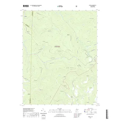
2019 Map of Lobelia
USGS Topo · Published 2019About this map
Lobelia and Dogway serve as the primary human touchpoints in this highland area where the borders of Webster, Greenbrier, and Pocahontas counties meet. The landscape is dominated by the Monongahela National Forest, featuring an intricate network of ridgelines and watercourses including the Yew Mountains and the Kennison Mountains. A notable concentration of natural features defines the eastern sector, where the Cranberry Glades sit near the Forks of Cranberry. Steep topographic changes are evident at landmarks such as the Falls of Hills Creek and along the numerous named runs and forks. The map documents an extensive trail system for back-country navigation, including the historic Pocahontas Trail and Kennison Mountain Trail, which traverse the high ground between Spruce Mtn and the Frosty Gap. Local routes like Co Rte 29 and Bruffey Creek Rd provide access to the small clearings and hollows of the Little Levels region.
Find a feature on this map
70 named features on this map. Tap any name to fly to it.
Don’t see what you’re looking for? This feature index may not catch every label — zoom into the map to look around manually.
Map Details
Editions of this 2019 Lobelia Map
This is the sole edition of this map. No revisions or reprints were ever made.
Other maps of this area

1891 · Huntersville
USGS Topo · 1:125,000

1894 · Huntersville
USGS Topo · 1:125,000

1915 · Webster Springs
USGS Topo · 1:48,000

1918 · Webster Springs
USGS Topo · 1:62,500

1923 · Lobelia
USGS Topo · 1:48,000

1923 · Marlinton
USGS Topo · 1:48,000

1923 · Mingo
USGS Topo · 1:48,000

1925 · Mingo
USGS Topo · 1:62,500

1925 · Marlinton
USGS Topo · 1:62,500

1925 · Lobelia
USGS Topo · 1:62,500