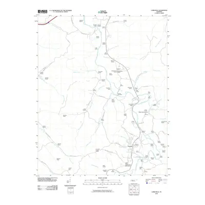
2010 Map of Lobelville
USGS Topo · Published 2010About this map
Lobelville serves as the primary hub of this Tennessee landscape, situated along the banks of the Buffalo River. The topography is defined by an intricate network of hollows and ridges, such as Snake Ridge and Cunningham Ridge, which dictate the paths of early roads like Old State Hwy 13. Family history is deeply rooted in the land here, evidenced by numerous small burial grounds including the Malugin Cemetery, Gray Cemetery, and Dodson Cemeteries.
Find a feature on this map
97 named features on this map. Tap any name to fly to it.
Don’t see what you’re looking for? This feature index may not catch every label — zoom into the map to look around manually.
Map Details
Editions of this 2010 Lobelville Map
This is the sole edition of this map. No revisions or reprints were ever made.
Other maps of this area

1936 · Pleasantville
USGS Topo · 1:24,000

1936 · Hurricane Mills
USGS Topo · 1:24,000

1936 · Coble
USGS Topo · 1:24,000

1936 · Pine View
USGS Topo · 1:24,000

1936 · Daniels Landing
USGS Topo · 1:24,000

1936 · Bucksnort
USGS Topo · 1:24,000

1936 · Chestnut Grove
USGS Topo · 1:24,000

1936 · Lobelville
USGS Topo · 1:24,000

1936 · Hustburg
USGS Topo · 1:24,000

1949 · Daniels Landing
USGS Topo · 1:24,000