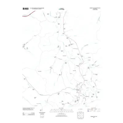
2013 Map of Lobelville
USGS Topo · Published 2013About this map
Lobelville serves as the central hub of this Middle Tennessee landscape, situated along the winding course of the Buffalo River. The topography is defined by an intricate network of hollows and ridges, such as Dividing Ridge and Snake Ridge, which have dictated the historical settlement patterns and road placements in the region. The river's influence is evident through numerous crossings and low-lying areas like Gilmore Bridge, Mill Bridge, and Leeper Bottom.
Find a feature on this map
121 named features on this map. Tap any name to fly to it.
Don’t see what you’re looking for? This feature index may not catch every label — zoom into the map to look around manually.
Map Details
Editions of this 2013 Lobelville Map
This is the sole edition of this map. No revisions or reprints were ever made.
Other maps of this area

1936 · Pleasantville
USGS Topo · 1:24,000

1936 · Hurricane Mills
USGS Topo · 1:24,000

1936 · Coble
USGS Topo · 1:24,000

1936 · Pine View
USGS Topo · 1:24,000

1936 · Daniels Landing
USGS Topo · 1:24,000

1936 · Bucksnort
USGS Topo · 1:24,000

1936 · Chestnut Grove
USGS Topo · 1:24,000

1936 · Lobelville
USGS Topo · 1:24,000

1936 · Hustburg
USGS Topo · 1:24,000

1949 · Daniels Landing
USGS Topo · 1:24,000