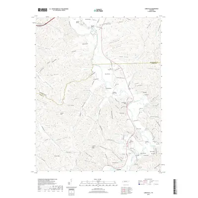
2019 Map of Lobelville
USGS Topo · Published 2019About this map
Lobelville serves as the focal point of this Tennessee valley, situated along the winding course of the Buffalo River. The landscape is defined by its numerous hollows and ridges, such as Dividing Ridge and Crooked Creek Ridge, which create a complex network of small stream drainages. The river valley is punctuated by significant crossings, including Standing Rock Bridge and the Mill Bridge near McCoy Hill. Genealogists will find a high density of small family burial grounds throughout the area, from the Dodson Cemeteries and Leeper Cem near the town center to more remote sites like Malugin Cem and Jones Cem in the north. The area's hydrology is rich with named springs such as Pruette Spring and Leeper Spring, illustrating the importance of natural water sources to the rural settlements. Small-scale agriculture is evident in the fertile bottomlands like Squeeze Bottom and Owen Bottom, while the presence of the Tennessee Gas Dr line indicates modern industrial infrastructure cutting through the traditional landscape.
Find a feature on this map
131 named features on this map. Tap any name to fly to it.
Don’t see what you’re looking for? This feature index may not catch every label — zoom into the map to look around manually.
Map Details
Editions of this 2019 Lobelville Map
This is the sole edition of this map. No revisions or reprints were ever made.
Other maps of this area

1936 · Pleasantville
USGS Topo · 1:24,000

1936 · Hurricane Mills
USGS Topo · 1:24,000

1936 · Coble
USGS Topo · 1:24,000

1936 · Pine View
USGS Topo · 1:24,000

1936 · Daniels Landing
USGS Topo · 1:24,000

1936 · Bucksnort
USGS Topo · 1:24,000

1936 · Chestnut Grove
USGS Topo · 1:24,000

1936 · Lobelville
USGS Topo · 1:24,000

1936 · Hustburg
USGS Topo · 1:24,000

1949 · Daniels Landing
USGS Topo · 1:24,000