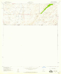
1958 Map of Lochiel
USGS Topo · Published 1959About this map
Lochiel sits directly against the international border in the late 1950s, serving as a remote outpost defined by its US Customhouse and proximity to the United States Mexico boundary. The landscape transitions from the broad ranching lands of the San Rafael Valley to the more varied terrain of the Coronado National Forest to the east.
Find a feature on this map
23 named features on this map. Tap any name to fly to it.
Don’t see what you’re looking for? This feature index may not catch every label — zoom into the map to look around manually.
Map Details
Editions of this 1958 Lochiel Map
4 editions found
Other maps of this area

1905 · Nogales
USGS Topo · 1:125,000

1914 · Hereford
USGS Topo · 1:125,000

1922 · Sunnyside
USGS Topo · 1:62,500

1932 · Lochiel
USGS Topo · 1:62,500

1938 · Sunnyside
USGS Topo · 1:62,500

1948 · Canelo Pass
USGS Topo · 1:24,000

1948 · Huachuca Peak
USGS Topo · 1:24,000
1948 · Sunnyside SW
USGS Topo · 1:24,000
1948 · Lochiel SE
USGS Topo · 1:24,000

1948 · Harshaw
USGS Topo · 1:24,000