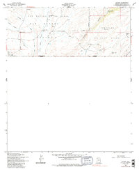
1958 Map of Lochiel
USGS Topo · Published 1986About this map
The San Rafael Valley dominates this 1958 survey, documenting a ranching and borderland landscape in southern Arizona. At the international boundary between the United States and Mexico, the small settlement of Lochiel serves as a critical point of entry, featuring the US Customhouse and a nearby Cem. The high-desert terrain is defined by the ephemeral Santa Cruz River, which is monitored here by a Gaging Sta near the Greene Ranch. To the east, the map climbs into the foothills of the Coronado National Forest, where the Parker Canyon School stands as a focal point for the rural inhabitants of the surrounding canyons. Cattle ranching infrastructure is evident throughout, with numerous water sources like Sheehy Spring and Arlene Tank linked by a network of Jeep Trails through the valleys and draws.
Find a feature on this map
21 named features on this map. Tap any name to fly to it.
Don’t see what you’re looking for? This feature index may not catch every label — zoom into the map to look around manually.
Map Details
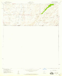
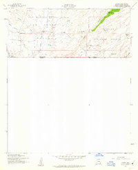
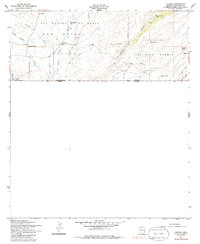
Editions of this 1958 Lochiel Map
4 editions found
Other maps of this area

1905 · Nogales
USGS Topo · 1:125,000

1914 · Hereford
USGS Topo · 1:125,000

1922 · Sunnyside
USGS Topo · 1:62,500

1932 · Lochiel
USGS Topo · 1:62,500

1938 · Sunnyside
USGS Topo · 1:62,500

1948 · Canelo Pass
USGS Topo · 1:24,000

1948 · Huachuca Peak
USGS Topo · 1:24,000
1948 · Sunnyside SW
USGS Topo · 1:24,000
1948 · Lochiel SE
USGS Topo · 1:24,000

1948 · Harshaw
USGS Topo · 1:24,000