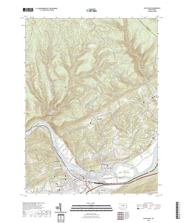
2023 Map of Lock Haven
USGS Topo · Published 2023About this map
Lock Haven and the surrounding river communities of Clinton Co are defined by the sharp transition from the valley floor to the high plateau of the Allegheny Mountains. Along the West Branch Susquehanna River, the landscape centers on the civic and educational hub of the Clinton County Courthouse and Lock Haven University of Pennsylvania. The river's influence is clear in the layout of historic districts like Lockport and Dunnstown, as well as the path of the Pennsylvania Canal and the Susquehanna River Water Trail - West Branch Trl.
Find a feature on this map
67 named features on this map. Tap any name to fly to it.
Don’t see what you’re looking for? This feature index may not catch every label — zoom into the map to look around manually.
Map Details
Editions of this 2023 Lock Haven Map
This is the sole edition of this map. No revisions or reprints were ever made.
Other maps of this area

1921 · Howard
USGS Topo · 1:48,000

1921 · Lock Haven
USGS Topo · 1:62,500

1923 · Howard
USGS Topo · 1:62,500

1923 · Lock Haven
USGS Topo · 1:62,500

1935 · Waterville
USGS Topo · 1:24,000

1937 · Waterville
USGS Topo · 1:48,000

1943 · Hyner
USGS Topo · 1:62,500

1943 · Waterville
USGS Topo · 1:62,500

1944 · Lock Haven
USGS Topo · 1:62,500

1946 · Renovo East
USGS Topo · 1:62,500