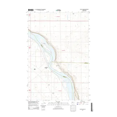
2014 Map of Locke Island
USGS Topo · Published 2014About this map
Locke Island sits prominently within the Hanford Reach, a free-flowing stretch of the Columbia River that defines the border between Benton and Grant counties. This riverine landscape is marked by the presence of small settlements and geographical landmarks that hint at the complex history of land use in this part of Washington. On the eastern bank, the terrain rises toward the Wahluke Slope, where the White Bluffs Wasteway drains across the agricultural and desert landscape.
Find a feature on this map
14 named features on this map. Tap any name to fly to it.
Don’t see what you’re looking for? This feature index may not catch every label — zoom into the map to look around manually.
Map Details
Editions of this 2014 Locke Island Map
This is the sole edition of this map. No revisions or reprints were ever made.
Other maps of this area

1911 · Red Rock
USGS Topo · 1:62,500

1916 · Coyote Rapids
USGS Topo · 1:62,500

1923 · Corfu
USGS Topo · 1:62,500

1924 · Hanford
USGS Topo · 1:62,500

1950 · Smyrna
USGS Topo · 1:62,500

1951 · Smyrna
USGS Topo · 1:62,500

1951 · Corfu
USGS Topo · 1:62,500

1951 · Hanford
USGS Topo · 1:62,500

1951 · Coyote Rapids
USGS Topo · 1:62,500

1953 · Walla Walla
USGS Topo · 1:250,000