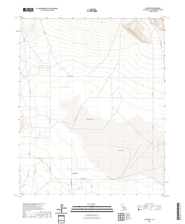
2021 Map of Lockhart
USGS Topo · Published 2021About this map
Lockhart sits at the southern edge of a desert basin where local ranching history meets the arid expanse of the Mojave Desert. The landscape is dominated by the dry bed of Harper Lake, a terminal playa that forms the centerpiece of Harper Valley. This area reveals the stark intersection of natural topography and human infrastructure, with roads like Lockhart Rd and Lockhart Ranch Rd delineating the early settlement patterns of the high desert. To the east, the terrain transitions into the distinct landforms of Water Valley and the rugged incision of Black Canyon. The survey maps out the grid-like township and range system, showing the precise sections that shaped land ownership in this corner of San Bernardino County. Researchers can trace the layout of the small community of Lockhart and its relationship to the surrounding valley floor and the approach to Black Canyon Rd.
Find a feature on this map
22 named features on this map. Tap any name to fly to it.
Don’t see what you’re looking for? This feature index may not catch every label — zoom into the map to look around manually.
Map Details
Editions of this 2021 Lockhart Map
This is the sole edition of this map. No revisions or reprints were ever made.
Other maps of this area

1915 · Searles Lake
USGS Topo · 1:250,000

1932 · Barstow
USGS Topo · 1:125,000

1934 · Barstow
USGS Topo · 1:125,000

1947 · Trona
USGS Topo · 1:250,000

1948 · Trona
USGS Topo · 1:250,000

1953 · San Bernardino
USGS Topo · 1:250,000

1953 · Trona
USGS Topo · 1:250,000

1955 · Opal Mountain
USGS Topo · 1:62,500

1956 · San Bernardino
USGS Topo · 1:250,000

1956 · Fremont Peak
USGS Topo · 1:62,500