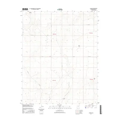
2017 Map of Lockney
USGS Topo · Published 2017About this map
The high plains of eastern Quay County are defined by a grid of rural roads and ephemeral watercourses in this 2017 survey. The small settlement of Lockney sits at the intersection of Quay Rd 92 and Lockney Rd, serving as a central point for the surrounding ranchlands. The landscape is marked by natural drainage features such as Shallow Well Draw, Butler Draw, and Sager Draw, which illustrate the arid hydrology of the region. Aviation infrastructure is represented by the Camco Ranch Airport, located just east of Quay Road R. This map provides a clear view of the modern township and range divisions, identifying the sections within t16n r34e and neighboring townships that dictate the local property and road layouts.
Find a feature on this map
18 named features on this map. Tap any name to fly to it.
Don’t see what you’re looking for? This feature index may not catch every label — zoom into the map to look around manually.
Map Details
Editions of this 2017 Lockney Map
This is the sole edition of this map. No revisions or reprints were ever made.
Other maps of this area

1954 · Tucumcari
USGS Topo · 1:250,000

1958 · Tucumcari
USGS Topo · 1:250,000

1962 · Logan
USGS Topo · 1:62,500

1966 · Cherokee Valley
USGS Topo · 1:24,000

1966 · Lockney
USGS Topo · 1:24,000

1966 · Mc Carty Ranch
USGS Topo · 1:24,000

1966 · Mc Cloy Ranch
USGS Topo · 1:24,000

1968 · Cammak Camp
USGS Topo · 1:24,000

1971 · Kerlin Hill
USGS Topo · 1:24,000

1971 · Obar
USGS Topo · 1:24,000