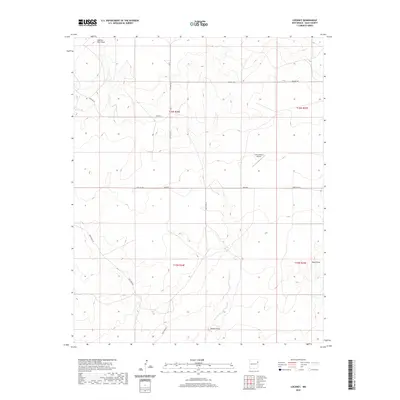
2020 Map of Lockney
USGS Topo · Published 2020About this map
Lockney serves as the focal point of this Quay County landscape, where the flat plains are defined by a network of drainage features and ranch roads. The map reveals a rural environment centered on large-scale land management, evidenced by the Camco Ranch Airport and various water resources including Bell Tank. Natural drainage systems such as Shallow Well Draw, Butler Draw, and Sager Draw snake through the terrain, dictating the historical and modern placement of transport routes like Lockney Rd and Obar Rd. This 2020 edition provides a clear view of the Public Land Survey System grid, which continues to shape the agricultural and residential boundaries of this high-plains region.
Find a feature on this map
18 named features on this map. Tap any name to fly to it.
Don’t see what you’re looking for? This feature index may not catch every label — zoom into the map to look around manually.
Map Details
Editions of this 2020 Lockney Map
This is the sole edition of this map. No revisions or reprints were ever made.
Other maps of this area

1954 · Tucumcari
USGS Topo · 1:250,000

1958 · Tucumcari
USGS Topo · 1:250,000

1962 · Logan
USGS Topo · 1:62,500

1966 · Cherokee Valley
USGS Topo · 1:24,000

1966 · Lockney
USGS Topo · 1:24,000

1966 · Mc Carty Ranch
USGS Topo · 1:24,000

1966 · Mc Cloy Ranch
USGS Topo · 1:24,000

1968 · Cammak Camp
USGS Topo · 1:24,000

1971 · Kerlin Hill
USGS Topo · 1:24,000

1971 · Obar
USGS Topo · 1:24,000