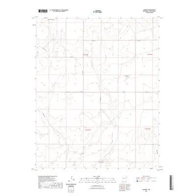
2023 Map of Lockney
USGS Topo · Published 2023About this map
The high plains of Quay County are defined by an intricate network of seasonal drainages and ranch infrastructure in this modern survey. Shallow Well Draw carves through the northern reaches, while the southeastern corner is marked by the winding path of Sagger Draw and Butler Draw. This landscape represents a contemporary view of New Mexico's ranching country, where vital water sources like Bell Tank remain critical landmarks. The rectilinear grid of the Public Land Survey System organizes the terrain into townships such as t16n r34e and t16n r35e, providing a clear look at the enduring land divisions of the American West. Private aviation also plays a role in local connectivity, evidenced by the presence of the Camco Ranch Airport situated near the intersection of several secondary ranch roads.
Find a feature on this map
17 named features on this map. Tap any name to fly to it.
Don’t see what you’re looking for? This feature index may not catch every label — zoom into the map to look around manually.
Map Details
Editions of this 2023 Lockney Map
This is the sole edition of this map. No revisions or reprints were ever made.
Other maps of this area

1954 · Tucumcari
USGS Topo · 1:250,000

1958 · Tucumcari
USGS Topo · 1:250,000

1962 · Logan
USGS Topo · 1:62,500

1966 · Cherokee Valley
USGS Topo · 1:24,000

1966 · Lockney
USGS Topo · 1:24,000

1966 · Mc Carty Ranch
USGS Topo · 1:24,000

1966 · Mc Cloy Ranch
USGS Topo · 1:24,000

1968 · Cammak Camp
USGS Topo · 1:24,000

1971 · Kerlin Hill
USGS Topo · 1:24,000

1971 · Obar
USGS Topo · 1:24,000