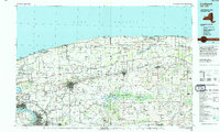
1950 Map of Lockport
USGS Topo · Published 1950About this map
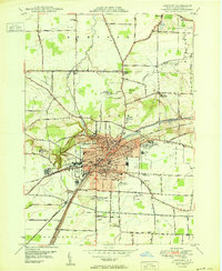
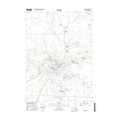
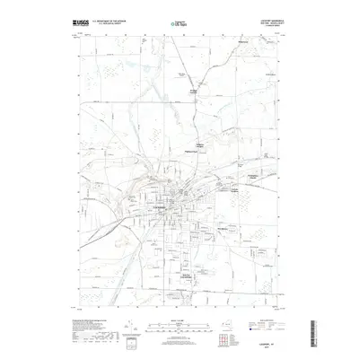
The Erie Canal cuts through the heart of the Niagara County landscape, dictating the development and industrial posture of Lockport at the midpoint of the century. This survey, compiled from 1942 aerial photography and 1948 ground methods, illustrates a transition between the established urban core and the surrounding townships of Newfane, Hartland, and Pendleton. Notable institutions like the Niagara Sanatorium and the County Hospital sit near the city limits, while the rugged geography of The Gulf provides a sharp contrast to the orderly street grids. The local transportation network is well-defined, featuring the International Railway and small aviation fields such as Lee Airport and Graf Airport. Beyond the city center, rural settlements like Wrights Corners and Shooktown remain distinct amidst an extensive network of named roads and country schools.
Find a feature on this map
71 named features on this map. Tap any name to fly to it.
Don’t see what you’re looking for? This feature index may not catch every label — zoom into the map to look around manually.
Map Details
Editions of this 1950 Lockport Map
This is the sole edition of this map. No revisions or reprints were ever made.
Historical Maps of Lockport Through Time
13 maps found

1897 Lockport
Niagara County, NY
1902 Lockport
Niagara County, NY

1905 Lockport
Niagara County, NY
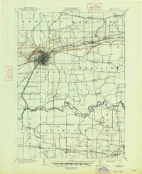
1948 Lockport
Niagara County, NY
1950 Lockport
Niagara County, NY
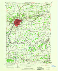
1965 Lockport
Niagara County, NY
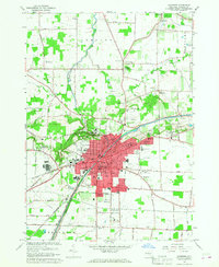
1980 Lockport
Niagara County, NY
1984 Lockport
Niagara County, NY
2010 Lockport
Niagara County, NY
2013 Lockport
Niagara County, NY
2016 Lockport
Niagara County, NY
2019 Lockport
Niagara County, NY

2023 Lockport
Niagara County, NY