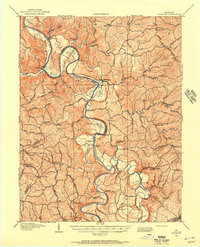
1906 Map of Lockport
USGS Topo · Published 1957About this map
Kentucky River commerce and riverbank life define this territory at the turn of the century, where winding bends create distinct agricultural pockets like Clements Bottom and Hardin Bottom. This 1906 survey by W.N. Morrill and others documents a landscape heavily reliant on the water for transport and industry, anchored by Lock No 2 and Lock No 3. Local infrastructure is highly localized, with several ferries including Harpers Ferry and Manford Ferry providing vital crossings between Owen Co, Henry Co, and Franklin Co. Away from the river, the map captures a rural network of post offices like Teresita P O and schools such as Claxton School and Greenup School. Significant roadway arteries like the Owenton Pike and Frankfort Pike link these upland settlements to the river towns of Gratz and Monterey, while landmarks like Tackitts Mill point to the area's milling history.
Find a feature on this map
94 named features on this map. Tap any name to fly to it.
Don’t see what you’re looking for? This feature index may not catch every label — zoom into the map to look around manually.
Map Details
Editions of this 1906 Lockport Map
2 editions found

Historical Maps of Monterey Through Time
14 maps found
1906 Lockport
Owen County, KY
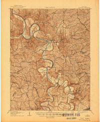
1908 Lockport
Owen County, KY
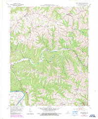
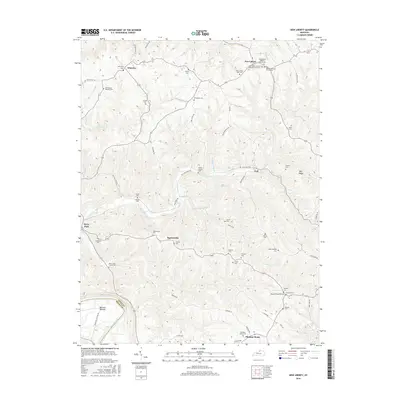
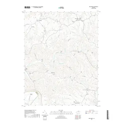
1950 New Liberty
Owen County, KY
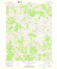
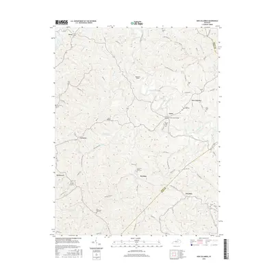
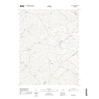
1953 New Columbus
Owen County, KY
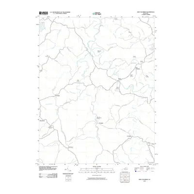
2010 New Columbus
Owen County, KY
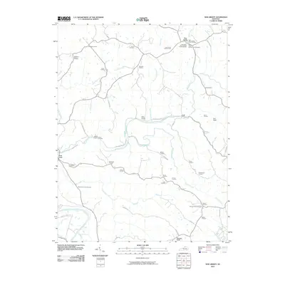
2010 New Liberty
Owen County, KY
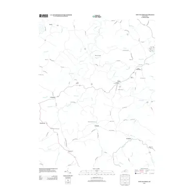
2013 New Columbus
Owen County, KY
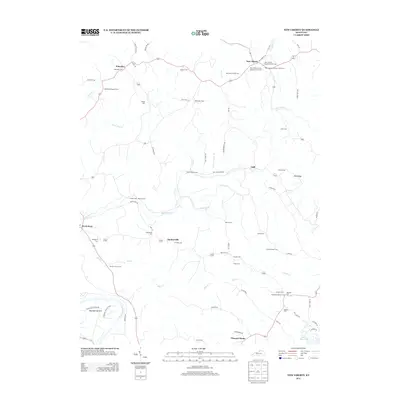
2013 New Liberty
Owen County, KY
2016 New Columbus
Owen County, KY
2016 New Liberty
Owen County, KY
2019 New Columbus
Owen County, KY
2019 New Liberty
Owen County, KY
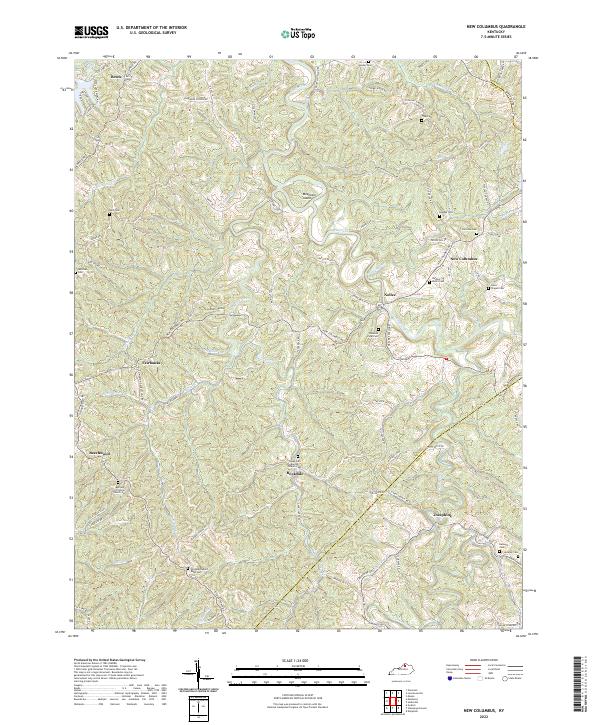
2022 New Columbus
Owen County, KY
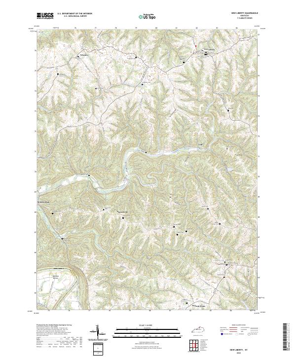
2022 New Liberty
Owen County, KY