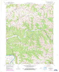
1950 Map of New Liberty
USGS Topo · Published 1987About this map
New Liberty and the surrounding hill country of Owen County are defined by an intricate network of narrow ridges and winding creek valleys. Settled areas like Wheatley and Squiresville sit atop the uplands, while the landscape below is carved by the Big Twin Creek and Mill Creek systems. The southern edge of the map is dominated by the wide curve of the Kentucky River at Marshall Bottom, marking the boundary with Henry County.
Find a feature on this map
38 named features on this map. Tap any name to fly to it.
Don’t see what you’re looking for? This feature index may not catch every label — zoom into the map to look around manually.
Map Details
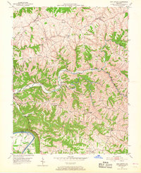
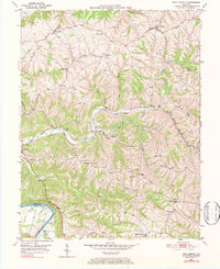
Editions of this 1950 New Liberty Map
4 editions found
Other maps of this area

1906 · Lockport
USGS Topo · 1:48,000

1908 · Lockport
USGS Topo · 1:62,500

1928 · New Castle
USGS Topo · 1:48,000

1932 · New Castle
USGS Topo · 1:62,500

1943 · Vevay South
USGS Topo · 1:24,000

1950 · New Liberty
USGS Topo · 1:24,000

1950 · Glencoe
USGS Topo · 1:24,000

1950 · Owenton
USGS Topo · 1:24,000

1951 · Sanders
USGS Topo · 1:24,000

1952 · Vevay South
USGS Topo · 1:24,000