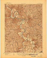
1908 Map of Lockport
USGS Topo · Published 1945About this map
The Kentucky River winds dramatically through a series of steep, entrenched meanders as it crosses the borders of Owen, Henry, and Franklin counties. This 1906 survey reveals a river-based economy dependent on navigation infrastructure like Lock No 2 and Lock No 3, which facilitated trade and travel between riverside settlements like Lockport and Monterey. Beyond the primary waterway, the landscape is defined by fertile river bottoms, such as Clements Bottom and Lecomptes Bottom, and a dense network of upland schools and churches like Mint Spring School and Mt Bethel Church. Multiple crossings, including Harpers Ferry and Manford Ferry, indicate how residents traversed the winding river before modern bridging. The presence of Walnut Grove Teresita PO and Tackitts Mill highlights the vanished local hubs of postal and milling activity that once anchored these rural Kentucky communities.
Find a feature on this map
64 named features on this map. Tap any name to fly to it.
Don’t see what you’re looking for? This feature index may not catch every label — zoom into the map to look around manually.
Map Details
Editions of this 1908 Lockport Map
3 editions found
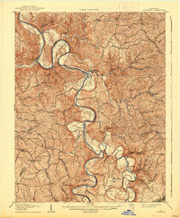
Other maps of this area

1906 · Lockport
USGS Topo · 1:48,000

1906 · Georgetown
USGS Topo · 1:62,500

1908 · Lockport
USGS Topo · 1:62,500

1908 · Georgetown
USGS Topo · 1:62,500

1922 · Frankfort
USGS Topo · 1:48,000

1923 · Waddy
USGS Topo · 1:48,000

1924 · Frankfort
USGS Topo · 1:62,500

1925 · Mount Eden
USGS Topo · 1:48,000

1927 · Mount Eden
USGS Topo · 1:62,500

1928 · New Castle
USGS Topo · 1:48,000