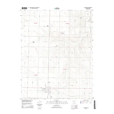
2015 Map of Lockwood
USGS Topo · Published 2015About this map
Lockwood anchors this portion of Dade County, showing a well-defined grid of streets including W 4th St and E 4th St south of the primary east-west corridor. The surrounding landscape is defined by the headwaters and branches of Sons Creek, which creates a complex drainage pattern through Grays Valley and past landmarks like Sims Point. Genealogists will find several burial grounds across the township, including Lockwood Cemetery, Immanuel Cemetery, and the more remote Messick Cemetery near the northern boundary.
Find a feature on this map
56 named features on this map. Tap any name to fly to it.
Don’t see what you’re looking for? This feature index may not catch every label — zoom into the map to look around manually.
Map Details
Editions of this 2015 Lockwood Map
This is the sole edition of this map. No revisions or reprints were ever made.
Other maps of this area

1886 · Nevada
USGS Topo · 1:125,000

1886 · Stockton
USGS Topo · 1:125,000

1886 · Greenfield
USGS Topo · 1:125,000

1886 · Carthage
USGS Topo · 1:125,000

1888 · Greenfield
USGS Topo · 1:125,000

1894 · Nevada
USGS Topo · 1:125,000

1894 · Carthage
USGS Topo · 1:125,000

1947 · Joplin
USGS Topo · 1:250,000

1949 · Joplin
USGS Topo · 1:250,000

1954 · Springfield
USGS Topo · 1:250,000