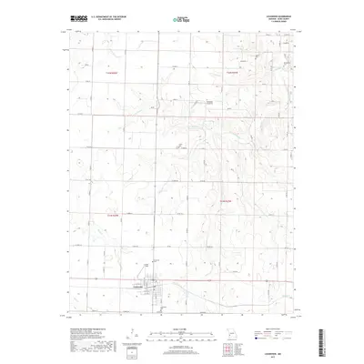
2017 Map of Lockwood
USGS Topo · Published 2017About this map
Lockwood anchors the southwestern portion of this West Missouri landscape, where a dense network of country roads like Co RD 142 and Co RD 122 connects outlying farmsteads and family landholdings. The area is notable for its numerous burial grounds, providing significant genealogical value through sites like Lockwood Cem, Immanuel Cem, Collins Cem, and the more remote Messick Cem and Montgomery Cem in the northeastern hills.
Find a feature on this map
58 named features on this map. Tap any name to fly to it.
Don’t see what you’re looking for? This feature index may not catch every label — zoom into the map to look around manually.
Map Details
Editions of this 2017 Lockwood Map
This is the sole edition of this map. No revisions or reprints were ever made.
Other maps of this area

1886 · Nevada
USGS Topo · 1:125,000

1886 · Stockton
USGS Topo · 1:125,000

1886 · Greenfield
USGS Topo · 1:125,000

1886 · Carthage
USGS Topo · 1:125,000

1888 · Greenfield
USGS Topo · 1:125,000

1894 · Nevada
USGS Topo · 1:125,000

1894 · Carthage
USGS Topo · 1:125,000

1947 · Joplin
USGS Topo · 1:250,000

1949 · Joplin
USGS Topo · 1:250,000

1954 · Springfield
USGS Topo · 1:250,000