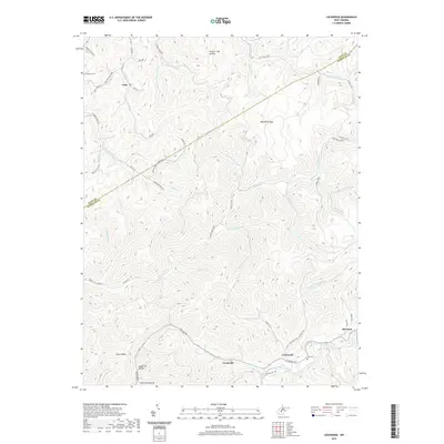
2019 Map of Lockwood
USGS Topo · Published 2019About this map
Lockwood and the winding course of Peters Creek anchor this topographic survey of the border between Clay and Nicholas Counties. The landscape is defined by a dense network of hollows and ridges, with named drainage systems like Twentymile Cr and Leatherwood Cr carving out deep valleys. Settlement patterns are largely confined to these narrow corridors, with clusters of activity at Fola, Lyonsville, and Drennen.
Find a feature on this map
62 named features on this map. Tap any name to fly to it.
Don’t see what you’re looking for? This feature index may not catch every label — zoom into the map to look around manually.
Map Details
Editions of this 2019 Lockwood Map
This is the sole edition of this map. No revisions or reprints were ever made.
Other maps of this area

1889 · Nicholas
USGS Topo · 1:125,000

1891 · Nicholas
USGS Topo · 1:125,000

1897 · Kanawha Falls
USGS Topo · 1:125,000

1900 · Kanawha Falls
USGS Topo · 1:125,000

1901 · Nicholas
USGS Topo · 1:125,000

1901 · Kanawha Falls
USGS Topo · 1:125,000

1908 · Clay
USGS Topo · 1:48,000

1908 · Fayetteville
USGS Topo · 1:48,000

1910 · Clay
USGS Topo · 1:62,500

1910 · Fayetteville
USGS Topo · 1:62,500